And here are the cookies again!
The digital platform MOOVTOO uses cookies. Some of them have a marketing purpose and allow us to personalize the content, offers, and services that are suggested to you. Others are just there to make your navigation smoother. You are not obligated to accept all of them! To learn more, consult our entire cookie usage policy. Check out our privacy policy
beta
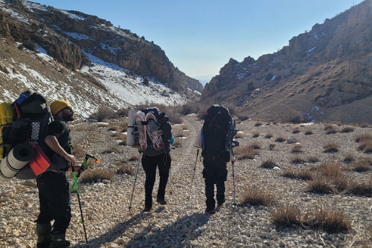
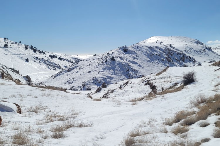
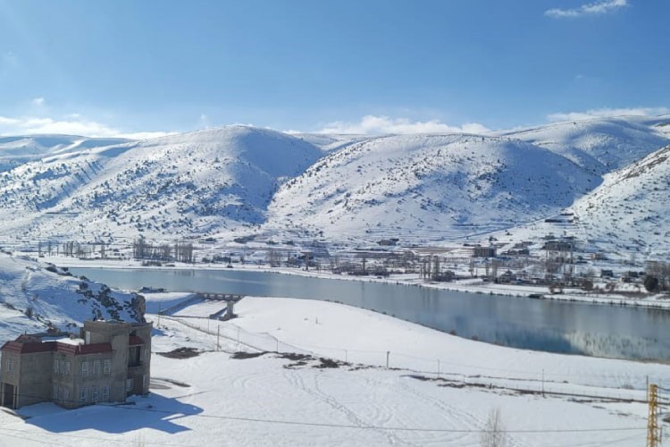
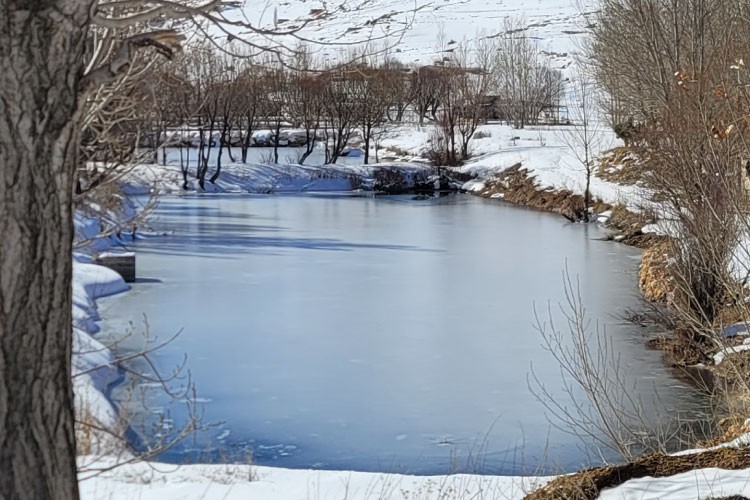
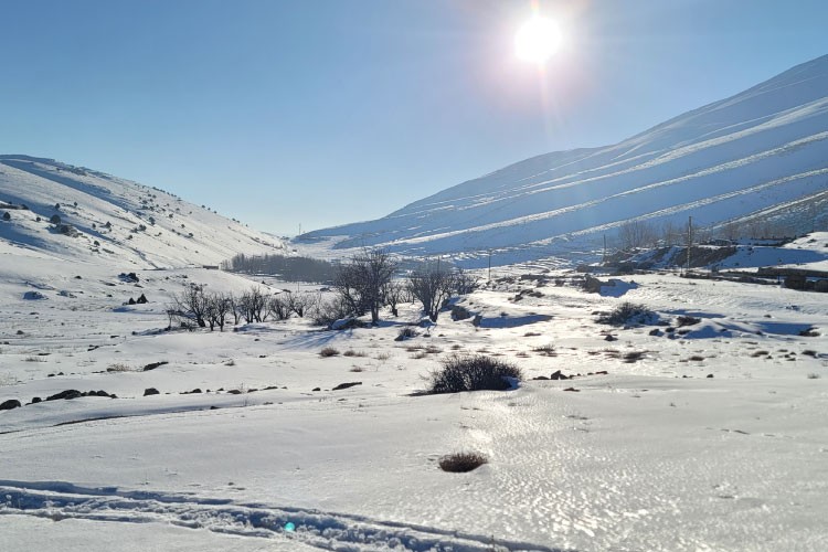
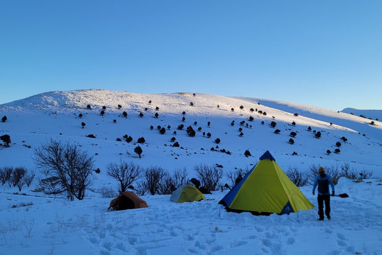
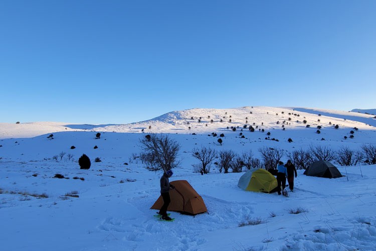
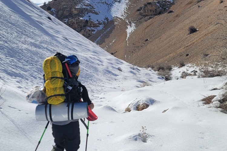
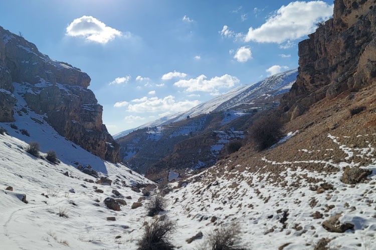
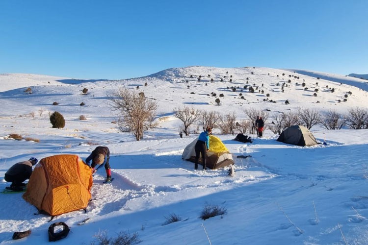
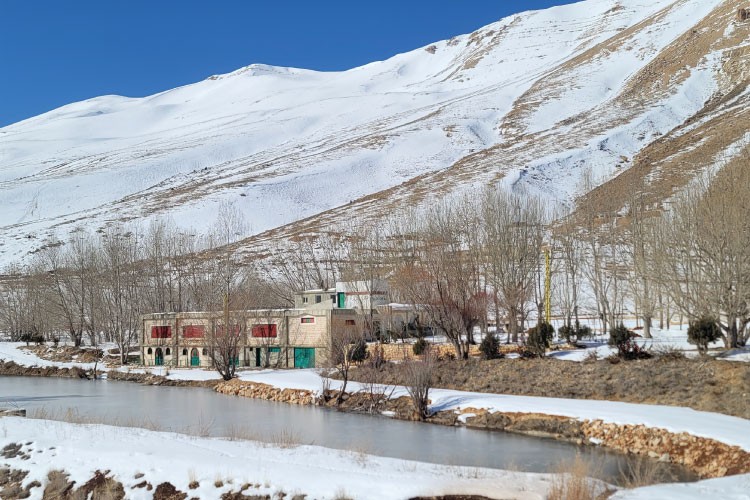
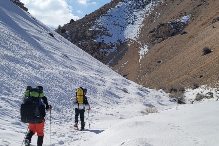
Boukaat Loubnan Trail: North-Beqaa Trail - Ainata Ouyoune Orgosh
From Ainata, the trail starts at the entrance of Wade (valley) el Nsoura, after the Church of Saints Sarkis and Bachos. Go straight ahead and cross the wade (approximate distance of 8 km) to reach the area of Ouyoune Orgosh next to a church dedicated to Virgin Mary. The valley abounds with terraces and orchad trees. To cross this trail in winter, hikers need to be equipped with snowshoes or back-country skis, and make the necessary preparations, like checking the snow cover stability. Home to many ponds and water springs, Ouyoune Orgosh is your perfect getaway. Once you're there, you can enjoy lunch (in summer) in one of its restaurants on the banks of the lakes. Keep moving north to reach Nabee el Shimaly water source, a drinkable fresh water from the mountain. 

More information on Boukaat Loubnan Trail website.

Trail Highlight

Through the walk in Wade el Nsoura, hikers will deeply connect to nature. From Ainata, they can extend their stay to enjoy winter activities. Backcountry skiers can climb Dahr el Qadib plateau and ski down to the Cedars of Bsharri area and vice versa. Wine lovers can visit the area of Deir el Ahmar, Barka, and Beshwate for wine tasting. Cultural and religious profile tourists can pay a visit to the Lady of Beshawate and go on a cultural tour in the town of Deir el Ahmar. The town of Ainata also covers short and easy trails that cross cultural landmarks such as the watermill, ancient tombs, and other points of interest. 

Reviews (0)
+
Login to post a comment
Trailhead Location
Ainata +
Baalbek District, Baalbek-Hermel Governorate
Lebanon
Trail caracteristics
Total Distance:
10 KM
Duration:
3H 30Min
Difficulty level:
Moderate
Ascension totale:
559 m
Descente totale:
38 m
Elevation Maximum:
2132 m
Elevation Minimum:
1605 m
Tips
Carry sunscreen with you
Take a hat or a cap
Take a water bottle
Wear comfortable shoes
Clothing appropriate for the season
Walking shoes
Binoculars