And here are the cookies again!
The digital platform MOOVTOO uses cookies. Some of them have a marketing purpose and allow us to personalize the content, offers, and services that are suggested to you. Others are just there to make your navigation smoother. You are not obligated to accept all of them! To learn more, consult our entire cookie usage policy. Check out our privacy policy
beta
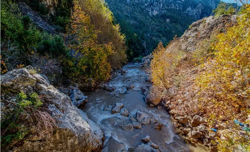
Ehmej Trail 10 – Adonis Valley
Steps & Interest Points
Point A
The trail starts in Haqlet al-Heya (1200m). It follows T01 until Ain Nassouh where it turns to go upwards through “al-Azr”, a nice oak forest, to reach al-Wata (1550m). In doing so, it has followed, in reverse sense, both T06 and T07.
Point B
From al Wata, follow an agricultural road, downhill through the Wata orchards, passing an old arched “qabou” and reaching a fork.
Point C
The right branch leads to Boqaata of Almat. Follow the left branch which, after meandering among apple orchards, starts a downhill slope to old sand quarries in Wadi at-Tarouaa valley, until the Qartaba road, altitude 1235m.
Point D

The last part can be either on the dirt road or along the thalweg footpath. At point D, the footpath crosses the Qartaba main road and continues downhill along the side road leading to Bolhos quiet hamlet. Bolhos is just a few houses nested, like a jewel in a box, under the majesty of Qornet Namroud, a nice peak with lots of legends around.

Unfortunately, quarries have broken the charm. The trail laces its way through the scattered houses and the hospitality of the people to Ain Bolhos spring, 1180m, and continues via a beautiful pine forest to an even smaller hamlet, Frat, 850m.

Point E

The last 15 minutes are through burnt pines ravaged by a bush fire in 2007. Pass by the mayor’s house with red tiles, then the new unfinished mosque and the winding footpath leading to Ain Frat.

Ten minutes separate the spring from a small valley that one needs to cross. Rock-cut tombs and a Phoenician altar stand just at the brink of the steep slope. The path exits at Janneh road and one has to follow the asphalt for 7 minutes to the small trail leading to the great valley of Nahr Brahim.

The trail goes along the right flanks of the valley before it starts a steep downhill to the river. But where is the river we once saw and heard? Disappeared into thin air! The river disappears indeed underground in a 70m-leap and surges down below, allowing the hikers to cross from one side to the other without realizing they’re on a fantastic natural bridge. Depending on humidity, the waterfall can be at the origin of a 100m-high column of vapors that, seen from far, look like a huge fire in the middle of the valley. Hence the name of the place, the smoking sinkhole, Houwet ad-Dikhan in Arabic.

Point F
630m, T10’s lowest point. A winding footpath climbs up the left bank now to an isolated house, with no one living there since 2008. The place is named al-Hariqa (the fire). More steep uphill through pines leads to a large path with a half-hidden large metal pipeline bringing water from Afqa to the Kesrouan district we’re just stepping in. Following it to the West, we reach the small village of Ibri, the end of our trail.
Point G
880m – Ibri is the terminus of a small road coming from Yahchouch. It is on Jabal Moussa’s Northern slopes and is therefore part of the larger Reserve area. Several families receive hikers for overnight stay.
Reviews (0)
+
Login to post a comment
Trailhead Location
Haqlet al-Heya
Ehmej
Jbeil District, Mount Lebanon Governorate
Lebanon
Trail caracteristics
Total Distance:
15 km
Elevation Maximum:
1.5 km
Difficulty level:
Difficult
Tips
Take a hat or a cap
Take a water bottle
Wear comfortable shoes
Clothing appropriate for the season
Walking shoes
Binoculars