And here are the cookies again!
The digital platform MOOVTOO uses cookies. Some of them have a marketing purpose and allow us to personalize the content, offers, and services that are suggested to you. Others are just there to make your navigation smoother. You are not obligated to accept all of them! To learn more, consult our entire cookie usage policy. Check out our privacy policy
beta
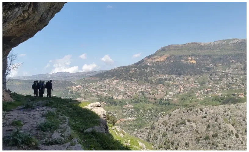
LMT Section 15: From Baskinta (el Chakhroub) to El Mtain

Option 1: the BLT (from Mikhael Naimi’s tomb to Baskinta)

Retrace your steps on foot or by vehicle to the point near Michael Naimi’s tomb. Then take the dirt road (like option 2) and follow the three-color blazing, walking to the bottom of Ouadi el Delb. Pass the hill lake on the left-hand side before reaching the end of the agriculture road. Continue downhill to the paved road which you approach from the Sannine side. Walk one hundred meters along it before turning right to reach the river bed after the HAD information panel and then continue along the same path and across the small bridge. From there, you start an easy ascent, counting 830m from the bridge before you take another un-cleared path which leads to an agriculture road on the left.

Option 2:

Walk on the BLT-LMT trail towards el Mtain and section 15. Then go along the same main road, leaving it after 500 m to take the dirt road on the left. Follow the three-color blazing until you reach the official LMT blazes before continuing on to el Mtain. At the BLT-LMT sign, climb up the agriculture road until you reach the paved road by the spring. Continue straight up and take the right to a dirt road, at some point leave again this road and take a steep decent on a gravel road, turn left and walk on a stone wall reaching along the water pipe (it’s slippery in places and has steep sides) before following the goat trail until you reach the roman ruins of el Jaouz. Then follow the footpath which overlooks the valley before crossing the stream and climbing up towards the Bqellai hill lake. Continue walking below it before taking the dirt road up to the main el Mtain-Zaarour road. Go a few meters on the paved road before taking a left turn onto a footpath which follow an unused water canal and two houses. once you walk past the second house walk few meter and take an un clear water canal, you will reach a dirt road, than turn left on another dirt road, follow the steep descent to reach a paved road, turn left into a pine forest to reach the el Mtain – Aintoura main road. Cross it and walk downhill towards el Mtain village, passing by the molasses (dibs) press and Ain el Manzoul. Then follow the paved road until you reach the historic main square of el Mtain.
Steps & Interest Points
From Baskinta (el Chakhroub) to El Mtain
Explore the different points of interest along the trail.
Reviews (0)
+
Login to post a comment
Trailhead Location
Baskinta +
Matn District, Mount Lebanon Governorate
Lebanon
Trail caracteristics
Total Distance:
16.5 KM
Ascension totale:
690m
Descente totale:
1200m
Difficulty level:
Difficult
Duration:
6h30
Tips
Take a hat or a cap
Take a water bottle
Wear comfortable shoes
Clothing appropriate for the season
Walking shoes