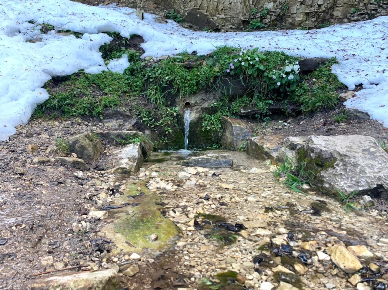
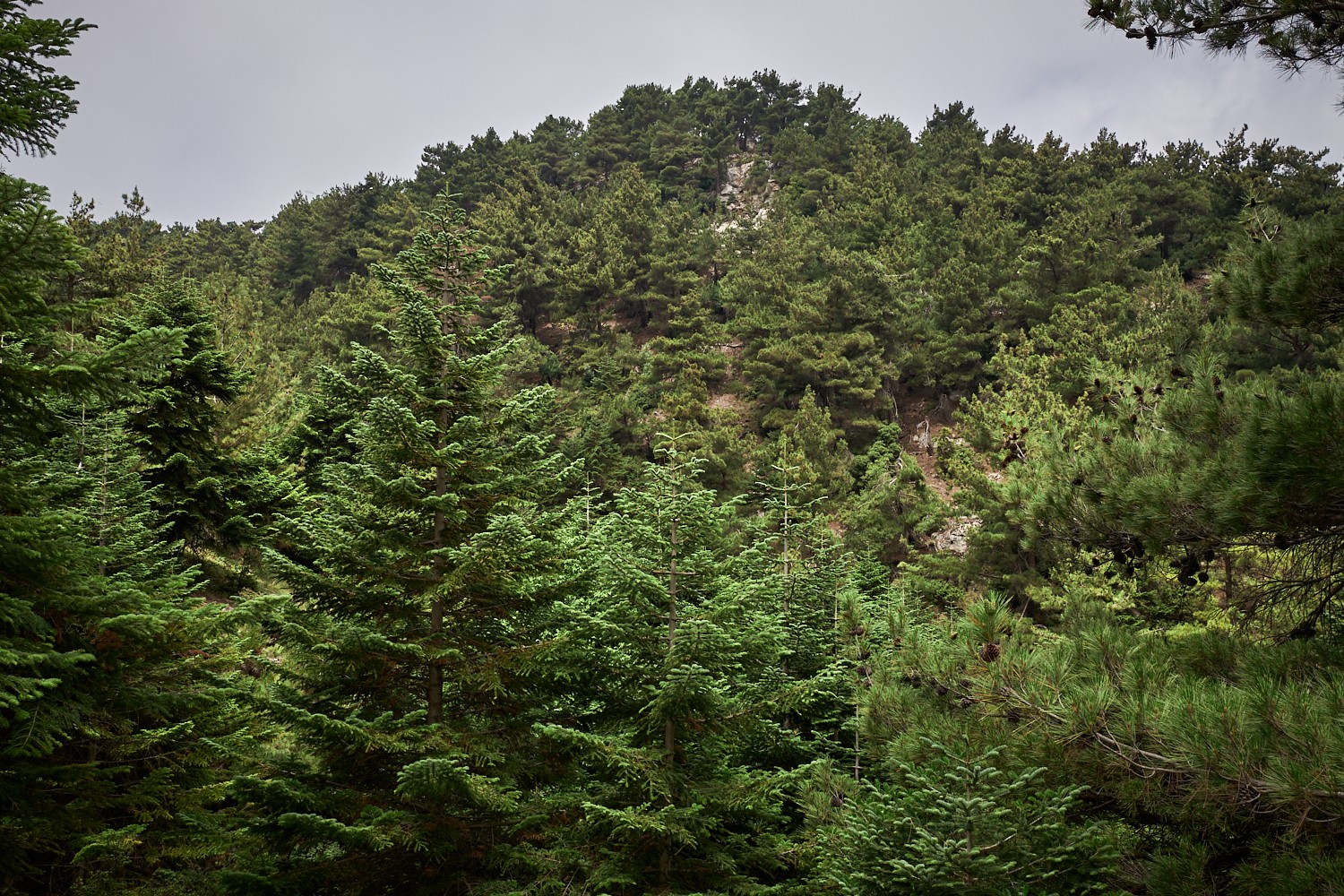
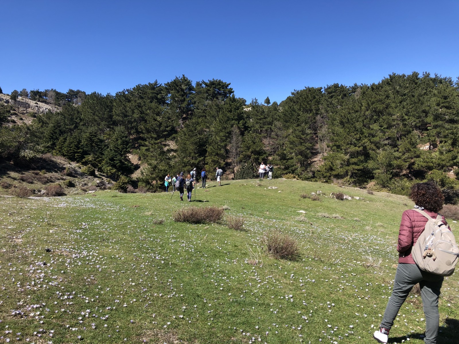
Hiking Day at Ayn Tabet, Kobayat-Akkar Al Atika
Maql El Snawbar
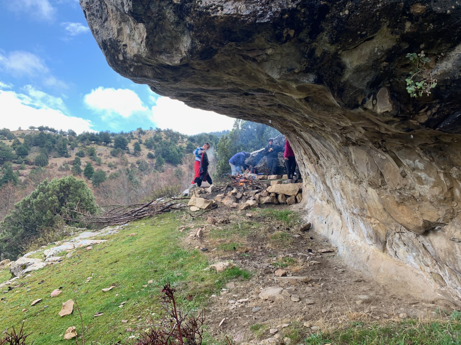
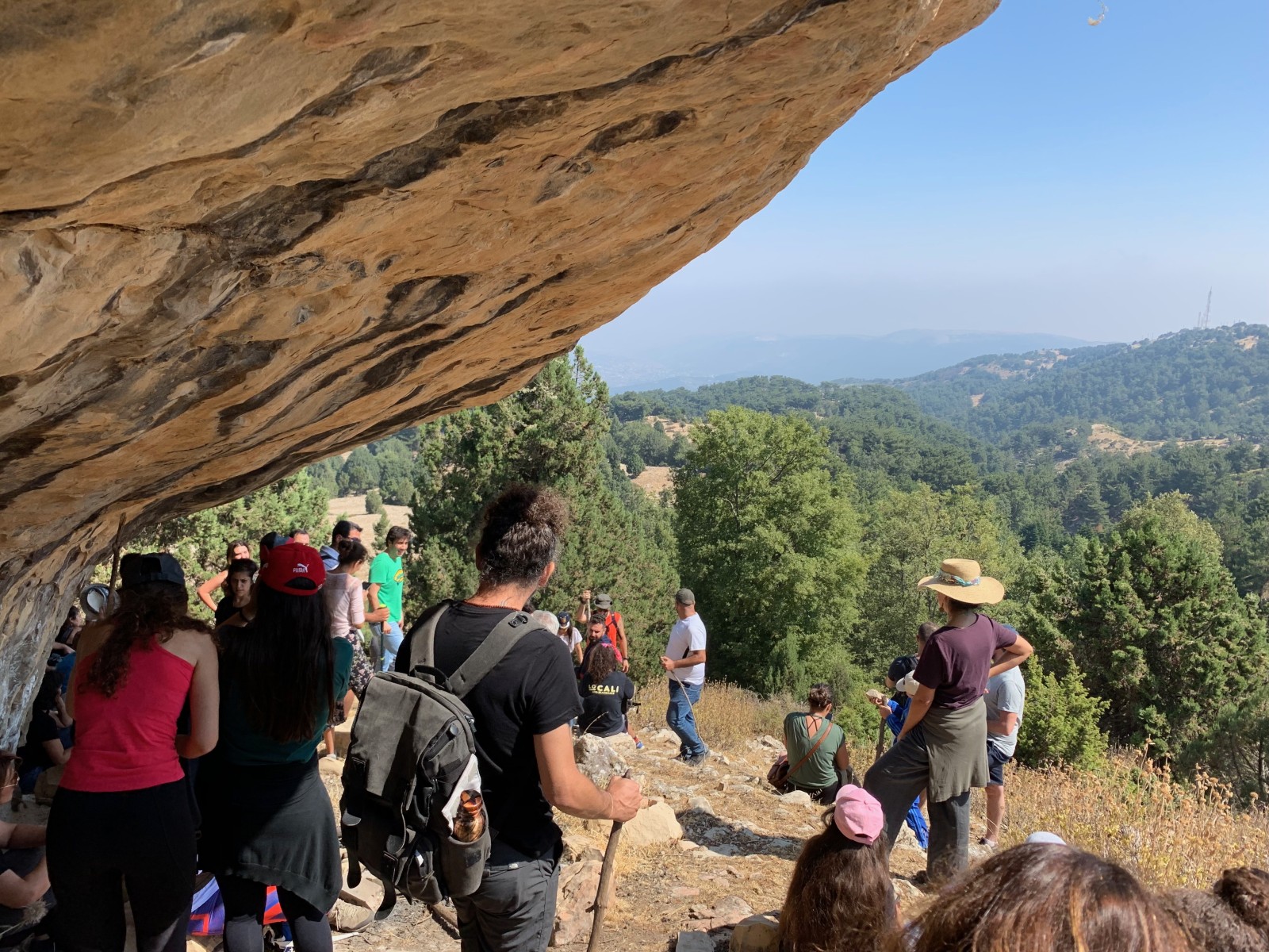
Kef Wehbe
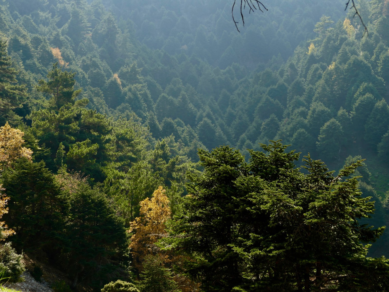
Dark Valley
All Reviews (0)
Login
Home
Trails
+
−
Leaflet
+3 More
+
−
Leaflet
Art et culture
Blog
Flâneries
Saveurs et parfums
Nature et plein air
Parole d’expert
Patrimoine
Voyage personnalisé
WIKIMOOV
Expériences
Évènements
Chemins de Randonnée
Trouvez un guide
Magazine
Produits artisanaux et locaux
Culture & Patrimoine
Boire et manger
Hébergement
Loisirs et Divertissements
Sites Naturels
Centres d'activités d’extérieur
Sites religieux
Centres de sports d’hiver
Lieux célèbres & utiles
Centres aquatiques
Bien-être
Business Platform
Join MOOVTOO
Become a MOOVTOO guide
Become a MOOVTOO Host
I've read and I accept MOOVTOO's Privacy and Cookie Policy
What is MOOVTOO ?
Partners
Contact us
FAQ
Legal Mentions
Data Protection Policy
Terms and Conditions
Check out our privacy policy