And here are the cookies again!
The digital platform MOOVTOO uses cookies. Some of them have a marketing purpose and allow us to personalize the content, offers, and services that are suggested to you. Others are just there to make your navigation smoother. You are not obligated to accept all of them! To learn more, consult our entire cookie usage policy. Check out our privacy policy
beta
Boukaat Loubnan Trail: Mount Hermon Tour Trail - Rachaya Ain Hercheh
©
Credit: Boukaat Loubnan Trail
The Trail starts from the region of Al Fakiaa Rachaya at the location of Birket el Fakiaa. The trail crosses three towns: Rachaya, Tannoura and Ain Hercheh. It crosses the mountains of Tannoura Ras el Harf to reach the ancient ruins of Al Jawk area. From Al Jawk area, the footpath continues to Nashabet Al Namre to reach the mountains of Ain Hercheh and the Roman Temple of Ain Hercheh. To go back, the trail slopes up from Ain Hercheh towards Mount Hermon, passes through the Mountains of Ain Ata, travels through the Maaswer area, and leads to Wadi Jahlane in Al Fakiaa Rachaya. As hikers walk this trail, they will be rewarded with picturesque views over Mount Hermon. This trail can be connected with the Rachaya Al Fakiaa section and the Lebanon Mountain Trail section from Rachaya to Hasbaya. 

More information on Boukaat Loubnan Trail website.

Trail Highlight

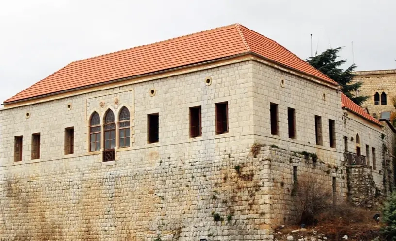
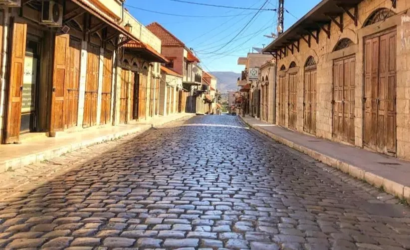
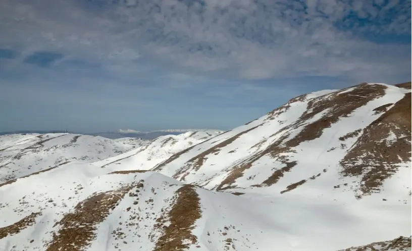
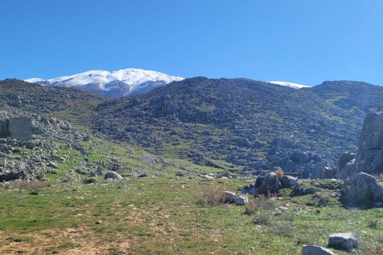
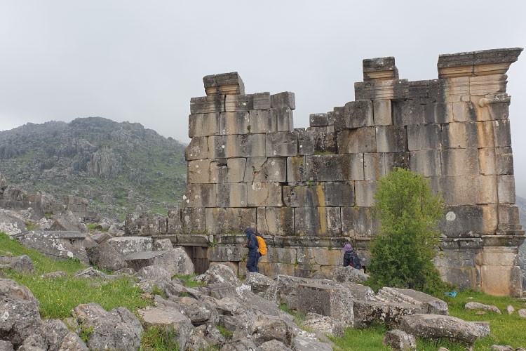
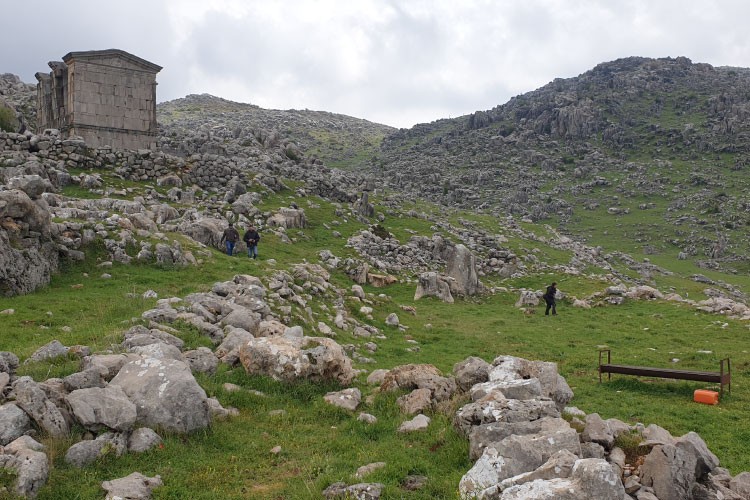
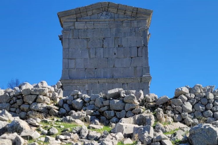
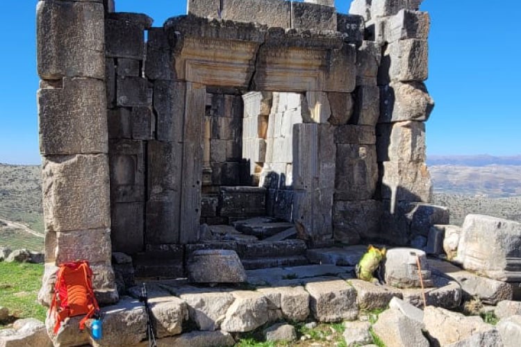
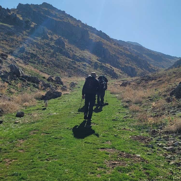
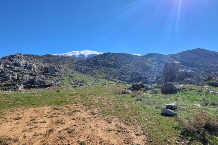
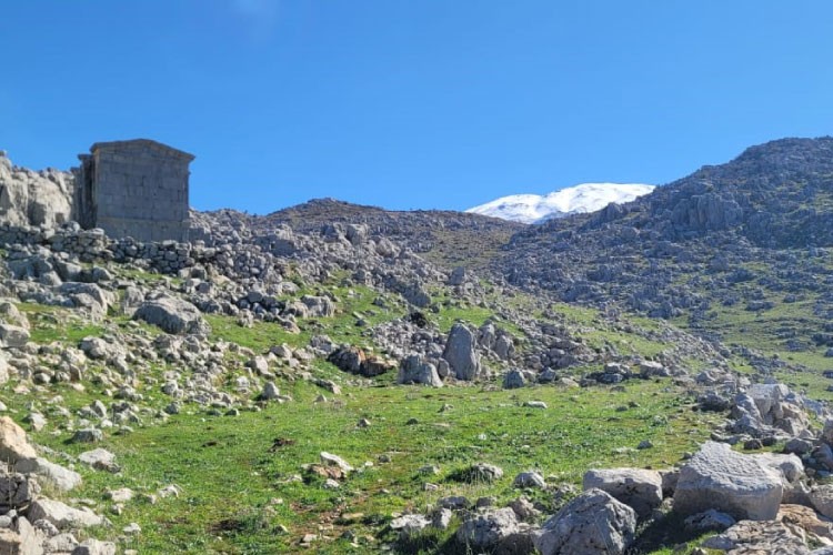
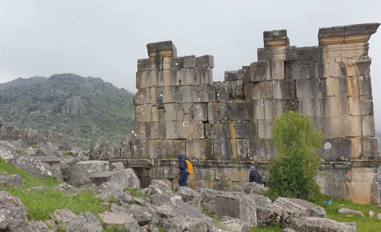
Once in Rachaya, visitors can enjoy Rachaya old Souk ornamented with beautiful houses and churches, as well as the old citadel. The Roman temple of Ain Hercheh is not to miss! It dates from a Greek inscription on one of the blocks to 114-115 AD. If you are a winter lover, we highly recommend you to plan a snowshoeing or back country skiing trip to this area in general. With prior organisation, we can guide you in climbing Mount Hermon and reaching the highest point located at 2817 meters above sea level. Kindly note that these trails request a special permission from the Lebanese Army. Please call Boukaat Loubnan Trails to ensure you have access and to arrange you a guided hike. 

Reviews (0)
+
Login to post a comment
Trailhead Location
Rashaya El Wadi +
Rashaya District, Beqaa Governorate
Lebanon
Trail caracteristics
Total Distance:
8 KM
Duration:
2H30 Min
Difficulty level:
Moderate
Ascension totale:
361 m
Descente totale:
350 m
Elevation Maximum:
1310 m
Elevation Minimum:
1096 m
Tips
Carry sunscreen with you
Take a hat or a cap
Take a water bottle
Wear comfortable shoes
Clothing appropriate for the season
Walking shoes
Binoculars